
The Tagus River, a Guide to the Soul of Lisbon
26 August 2026
The largest river on the Iberian Peninsula shaped Lisbon. A guide to the Tagus, from its history to the best ways to live it today.
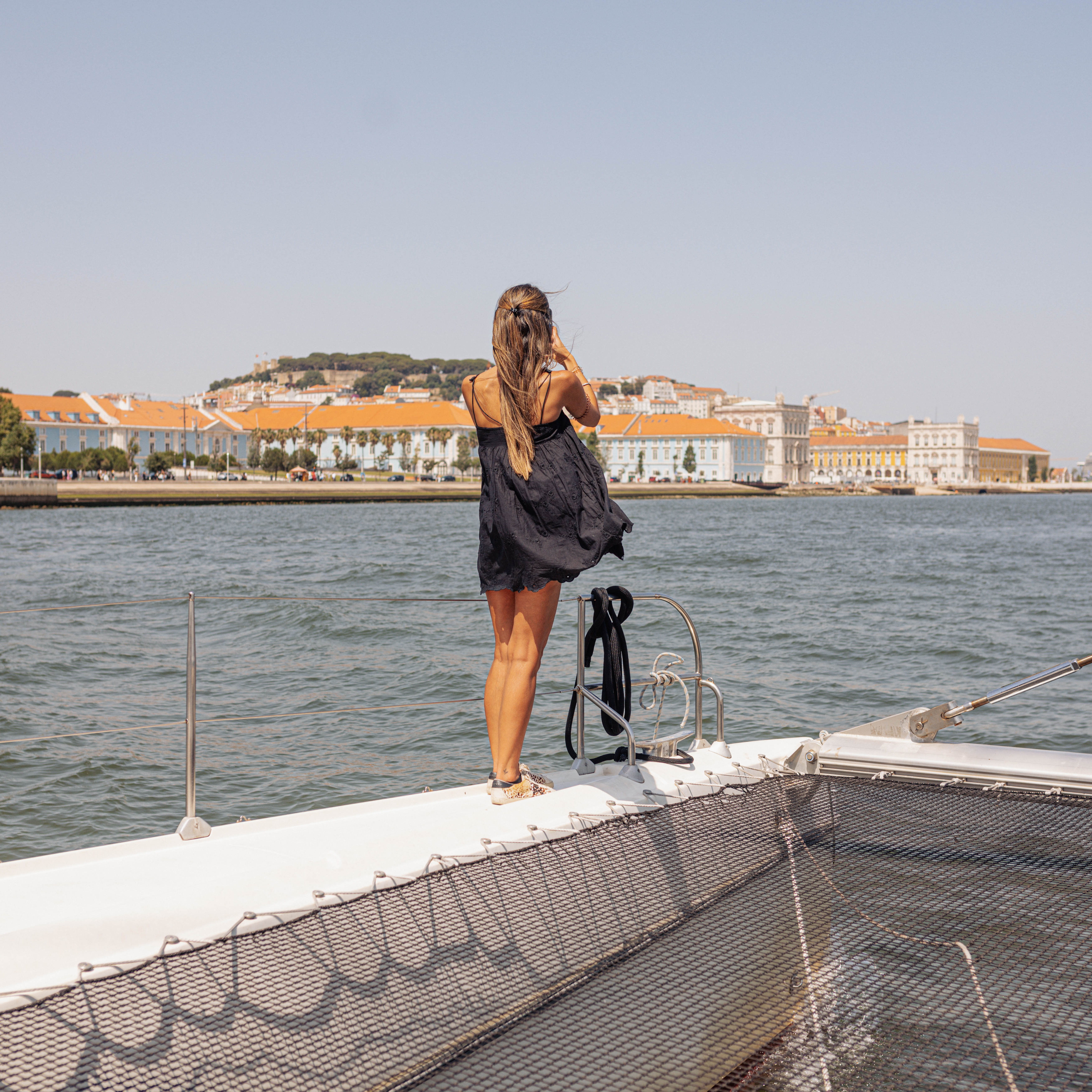
You cannot understand Lisbon without understanding the river. The Tagus River is not just the city's backdrop, it is the reason it exists, grew and turned to face the world. This guide gathers the essentials: what the Tagus is, how it shaped Lisbon and where to experience it best today.
The largest river on the Iberian Peninsula
The Tagus rises in Spain, in the Albarracín mountains, and runs some 1,000 kilometres before reaching the Atlantic beside Lisbon. It is the largest river on the Iberian Peninsula. As it arrives at the capital, it widens into a vast estuary, the Mar da Palha or Straw Sea, one of the largest wetlands in Europe and an important habitat for waterbirds.
The river that made Lisbon
It was the Tagus that made Lisbon a port city from antiquity, first with the Phoenicians and Romans, then as the launch point of the age of Discoveries. It was from its banks that the ships set sail for India and Brazil, which is why monuments like the Belém Tower and the Monument to the Discoveries face the water directly. The river is living history.
The banks, two sides of the same landscape
On the north bank is Lisbon, its riverfront stretching from Belém in the west to Parque das Nações in the east, passing Cais do Sodré and Terreiro do Paço. On the south bank are Almada, Cristo Rei and the beaches of Costa da Caparica, along with calm riverside areas like Cais do Ginjal. The 25 de Abril Bridge and the Vasco da Gama Bridge link the two sides and have become icons of the landscape in their own right.
The light of the Tagus
There is something visitors notice quickly in Lisbon: the light. The combination of the wide estuary, the open sky and the city's position gives Lisbon a particular light, especially in the late afternoon, when the sun drops over the water and everything turns golden. It is that light that made Lisbon a favourite for photographers, painters and, today, for anyone chasing the perfect sunset.
How to experience the Tagus today
You can experience the Tagus in many ways: strolling along Ribeira das Naus, soaking up the sun in Belém, crossing by ferry to Almada, or dining by the water. But one changes everything, being on the river. Seeing Lisbon from the Tagus shows the city as it was meant to be seen, facing the water, and reveals a scale no street can give. At Sardinha do Tejo there are two ways to do it: the EVORA Boat, historic and lively, and the Catamaran, calmer and more intimate. Both at sunset, both showing the river that made the city. See the options at Lisbon boat tours.
Frequently asked questions
- Where does the Tagus River rise and run?
- It rises in Spain, in the Albarracín mountains, runs some 1,000 kilometres and reaches the Atlantic beside Lisbon. It is the largest river on the Iberian Peninsula.
- What is the Mar da Palha?
- It is the name given to the vast Tagus estuary beside Lisbon, where the river widens before reaching the sea. It is one of the largest wetlands in Europe and important for waterbirds.
- What is the best way to see the Tagus in Lisbon?
- Being on the river, on a boat tour. It is the only way to see Lisbon facing the water, on the scale the city was designed for, especially at sunset.
- Which Lisbon monuments are tied to the Tagus?
- The Belém Tower, the Monument to the Discoveries, Terreiro do Paço and Cristo Rei, among others, all facing the water that made Lisbon a city of departures and arrivals.
- Which bridges cross the Tagus in Lisbon?
- The 25 de Abril Bridge in the west and the Vasco da Gama Bridge in the east. Both link Lisbon to the south bank and have become icons of the river landscape.